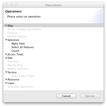
Operations dialog
The Operations dialog offers the complete list of all available operations to work with geospatial information. The operations available for the current selection are enabled and can be run directly from the Operation dialog.

Operations also directly available from the context menu when selecting information to work on.
The following operations are defined:
Cancel
Closes the operation dialog and returns you to the map display.
Operate
Executes the operation using the current selection. Some operations will open a dialog or a wizard to ask you for additional information; while others will perform their function directly.